The Game of Drones 2025 Robotics Competition
STEMERALD City, in partnership with Fayetteville Technical Community College (FTCC) is pleased to provide a robotics competition based on unmanned aerial vehicles, autonomous ground vehicles, remote sensing technology and space exploration. During the training sessions, students will learn:
- How to code aerial and ground based drones to move autonomously using the Python and JavaScript programming languages
- How to gather sensor data remotely
- The National Airspace
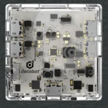
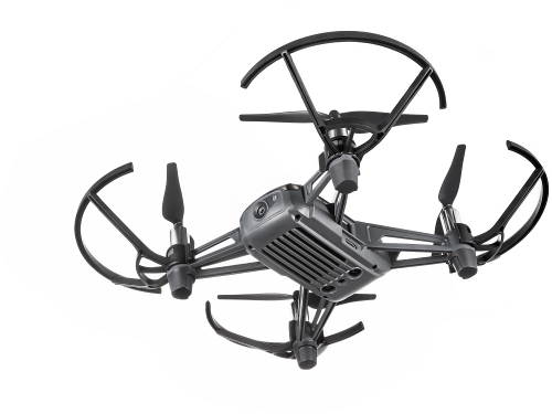
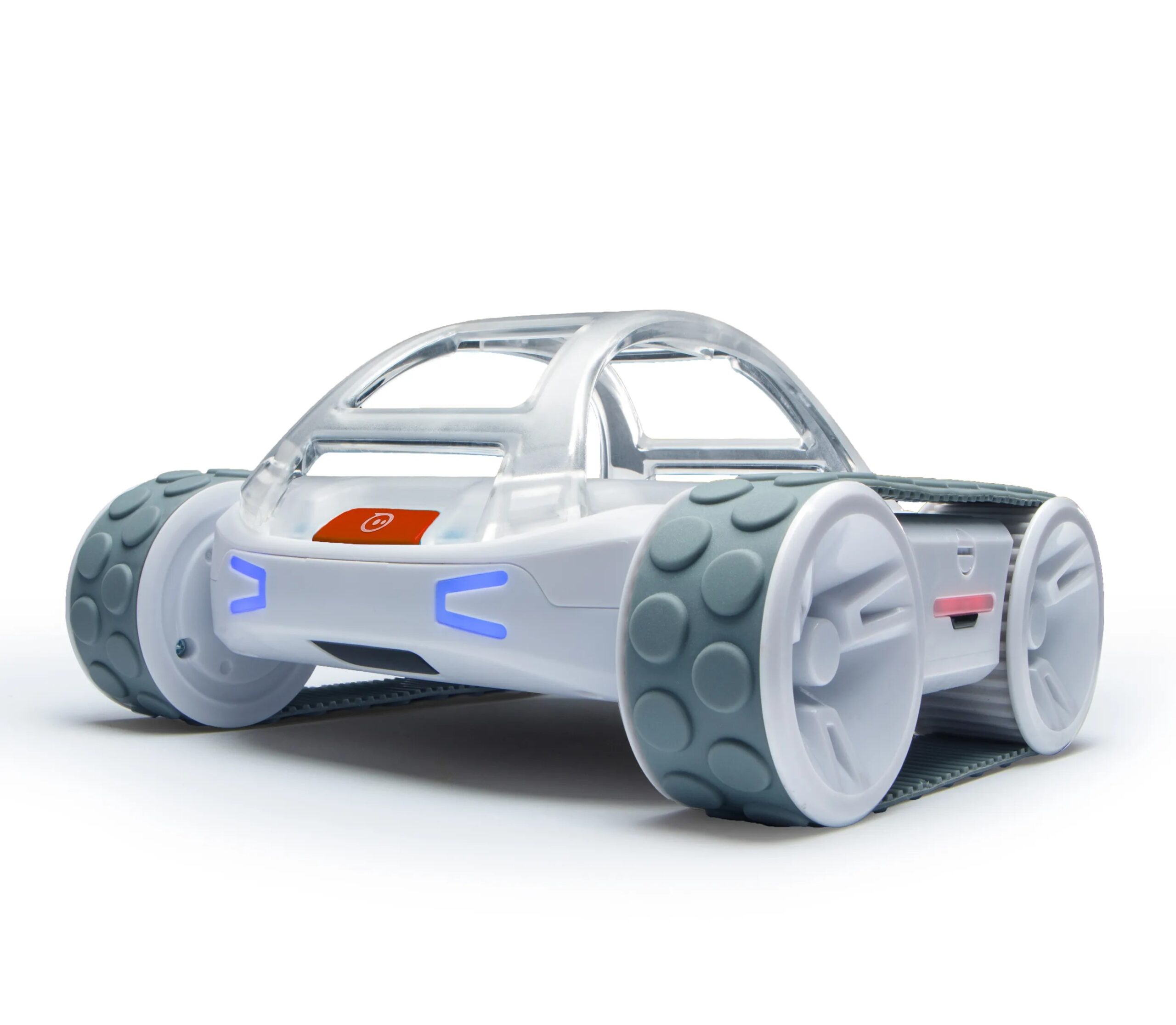
For this project, we will be using the Sphero RVR+ robot, The Tello Drone and the Databot Sensor. RVR+ is Sphero’s revolutionary take on the programmable robot. It’s drivable right out of the box, packed with a diverse suite of sensors, and built for customization. RVR+ is expandable and made for novice to advanced learners in middle and high school. As an educational drone developed by DJI Education, The Tello Drone is committed to lowering the threshold for robot and AI learning, and cultivating students’ curiosity and self-confidence during their first contact with science and technology education. Databot provides educators across multiple grade levels and disciplines with a common tool for visualizing and capturing real, scientific data that brings science, math, and technology activities to life. These technologies will support the needs of students via the integration of visual enhancements and hands-on activities that will support the multiple learning styles that exist in every classroom. This will make the learning objectives tangible for each student.
The future of UAV (Unmanned Aerial Vehicle) technology in space exploration is promising, with the potential to revolutionize planetary exploration and improve data collection. UAVs, including drones, are being designed to operate in extreme environments like Mars and Titan, where traditional rovers are limited by terrain. Equipped with advanced sensors and AI, space drones can fly over vast areas, mapping and analyzing remote regions more efficiently. Projects like NASA’s Ingenuity helicopter on Mars have already demonstrated the feasibility of UAVs in space, suggesting that future missions will increasingly rely on aerial robotics to explore and gather data from celestial bodies. These UAVs could support human exploration by scouting terrain, monitoring environments, and facilitating communication networks in space colonies.


Team Roles
Each team will consist of a minimum of 3 players, each fulfilling one of the following roles:
- Coder: Responsible for writing and sending instructions to the drone.
- Visual Observer (VO): Monitors the drone’s behavior from takeoff to landing, advising the Mission Manager (MM) of any adjustments needed.
- Mission Manager (MM): Oversees the team’s mission, ensuring that the drone is ready for takeoff (sufficient battery power, proper positioning, and no overheating). The MM is the only team member allowed to communicate directly with both the Coder and VO during the mission.
These roles will be randomly assigned before each mission to ensure equitable distribution of responsibilities.
Judging Guidelines
- Station Assignment: Each team will be assigned to a designated station, with a judge assigned to each station.
- Mission Observation: Judges will observe the drone’s in-flight behavior and compare it to the written mission objectives.
- Waypoint Measurement: Upon the drone’s arrival at its destination, judges will measure the distance (in inches) from the center of the drone to the center of the designated waypoint.
- Data Science Round: In this round, judges will review and score the team’s exported data sets.
- Behavioral Compliance: Judges will observe team behavior to ensure compliance with the code of conduct.
Scoring System
Points are awarded based on the drone’s proximity to the waypoint, along with additional scoring criteria:
Waypoint Scoring
- Distance from Waypoint (inches):12 inches = 1 Point11 inches = 2 Points10 inches = 3 Points9 inches = 4 Points8 inches = 5 Points7 inches = 6 Points6 inches = 7 Points
- 5 inches = 8 Points
- 4 inches = 9 Points
- Less than 3 inches = 10 Points
Additional Points
- Data Exports (Data and Charts): 5 Points
- Drone Video Footage Export: 5 Points
- Drone Runtime Behavior (Sensing, LED Lights): 5 Points
Note: All points are awarded at the judge’s discretion. If necessary, a judge may call for a huddle with at least two additional judges.
Time Limits and Mission Attempts
The competition will consist of 7 missions, with each team receiving approximately 10 minutes at the start of each mission to build and test their code before launching their initial attempt. Teams are permitted two attempts per mission:
- First Attempt: Teams have the full allotted time to complete the mission.
- Second Attempt: If a second attempt is needed, the time limit will be cut in half.
Judges will score the mission based on the best of the two attempts.
Awards Ceremony
After the final mission, judges will be sequestered to calculate the scores. An awards ceremony will follow, with all participants receiving certificates of participation. Awards will be presented as follows:
- First Place: Awarded to the team with the highest point total, earning the title “Rulers of the Earth, Sky, and Space.”
- Second Place: Awarded to the team with the second-highest point total.
- Third Place: Awarded to the team with the third-highest point total.
Where: All training sessions will take place on the FTCC Campus.
When: March 1st (First Session)
April 5th (Second Session)
May 3rd (Competition Day)
Time: 9:00 am to 3 pm (Lunch will be provided)
This competition has a limit of 50 participants in grades 6 -12.
Check out the wrap up video of last year’s competition at NC A&T University.
Registration is now closed.
Have a question? No worries. Chat with us now.